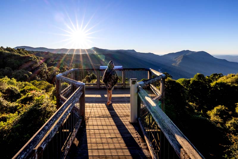
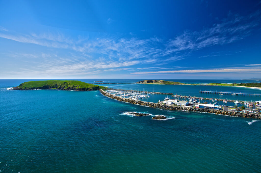
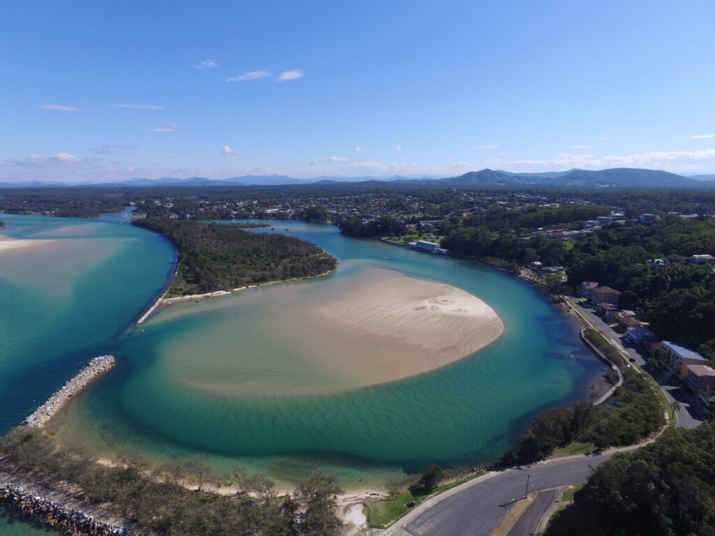
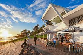
The Mid North Coast (MNC) comprises an area of 17,218 square kilometres, halfway between Sydney and Brisbane. It lies between the Great Divide and the east coast. The landscape is typified by winding rivers that feed lush hinterland, and over one hundred kilometres of pristine beaches. It benefits from a high rainfall and is considered by many to have the most ideal climate in Australia.
The region has a population of around 260,000 people. The largest centres are Coffs Harbour and Port Macquarie. Both have significant airports and are less than an hour’s flight to Sydney or Brisbane. The dual lane upgrade of the Pacific Highway also puts the region within a four hour drive of the major centres of Sydney, Newcastle, the Gold Coast and Brisbane.
The Mid North Coast is home to an array of vibrant, modern and sometimes eclectic townships that attract 4.9 million visitors each year.
A significant indigenous population lives here, principally represented by the local Aboriginal nations of Gumbaynggirr, Dunghutti and Birpai.
Combining some of Australia’s most beautiful coastline, with friendly communities and plenty of business opportunities, gives the Mid North Coast its unique work life balance. With such a wealth of business opportunity, culture and natural assets on offer, why would you live or work anywhere else?
The Mid North Coast is made up of the following Local Government areas:
Bellingen Shire
Bellingen Shire is located approximately halfway between Sydney and Brisbane. The main townships are Bellingen and Urunga with other smaller towns and villages making up the LGA. It is a coastal and rural area with Urunga on the coast through to Dorrigo on the plateau with Bellingen nestled at the foot of Dorrigo mountain. It enjoys a diverse environmental landscape with beaches, rivers, rolling hills and state forests.
Coffs Harbour
The City of Coffs Harbour is home to over 78,000 people and is one of the fastest growing and most dynamic areas within regional NSW. The Coffs Harbour LGA stretches from Sawtell in the south to Red Rock in the north and west to beautiful rural hinterland villages like Ulong and Nana Glen.
Kempsey Shire
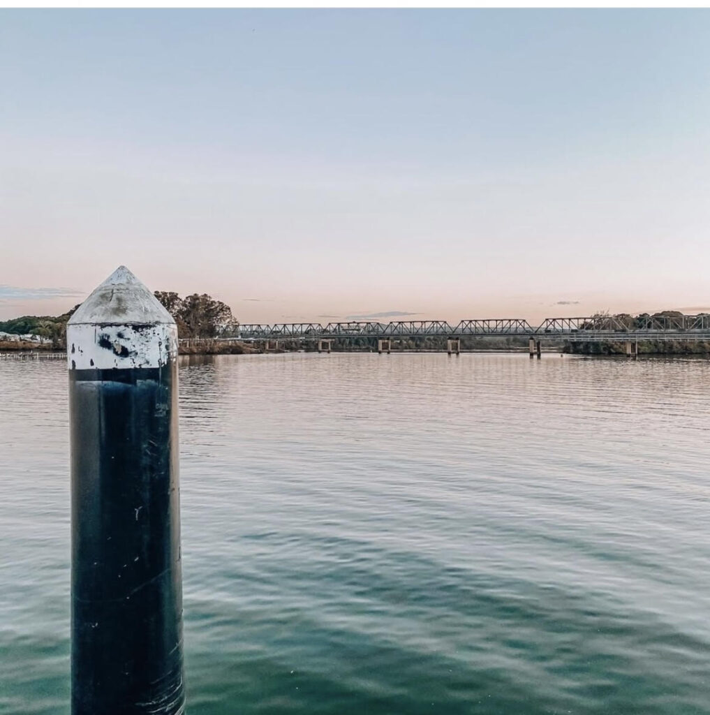
Situated in the Macleay Valley on the Mid North Coast of New South Wales, Kempsey Shire has a vibrant community of around 30,000 people.
While most of its residents live in the towns of Kempsey, South West Rocks or Crescent Head, the shire also has many villages and rural localities spread across its 3,381 square kilometres.
Midcoast
The MidCoast is a large and diverse region of 195 towns, villages and localities. The MidCoast ranges from beaches to mountains over an area of 10,000 square kilometres.
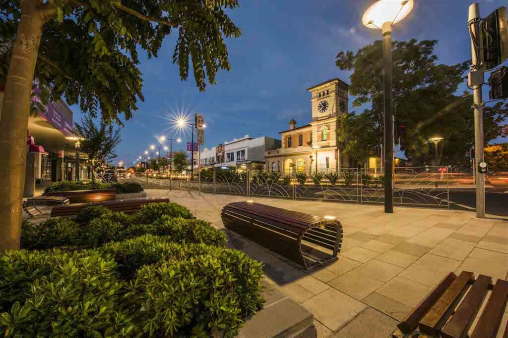
There are two main population centres, Taree and Forster-Tuncurry. Taree is home to the region’s public hospital, airport and train service. It is also a central place for sporting, entertainment and cultural facilities. Large tracts of industrial land support a focus on industry. Forster-Tuncurry focuses on lifestyle, with tourism and retirement living driving the economy.
Rural and coastal centres include Tea Gardens-Hawks Nest, Gloucester, Wingham, Hallidays Point, Harrington and Old Bar.
Nambucca Valley
The Nambucca Valley is located on the Mid North Coast of NSW and is nestled between the foothills of the Great Dividing Range and the coastline of the Pacific Ocean. The Shire has two National Parks, eight local nature reserves and 25km of coastline. The main localities of the Shire include Nambucca Heads, Macksville, Bowraville, Valla Beach and Scotts Head with many smaller villages and rural settlements.
Port Macquarie-Hastings
The Port Macquarie-Hastings region is one of the fastest growing urban centres in Australia.
Our Local Government Area covers 34 communities spread across the coast and hinterland, in urban, suburban and rural environments. With pristine coastal and hinterland environments, world class restaurants and a vibrant community, the Port Macquarie-Hastings region is incredibly diverse, with huge opportunities for growth and development.
Our population is concentrated in the main centres of Port Macquarie, Laurieton and Wauchope. Smaller villages and neighbourhoods are important centres for people who live outside of the main centres.
